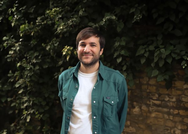
During my Master’s in Landscape Urbanism at the Architecture Association, I discovered my passion for maps and spatial graphic storytelling. Developing applications that empowered fishers in deprived coastal communities, I fought against unfair policies by working with NGOs and conducting a mix of fieldwork and data analysis.
At Prior + Partners, I have honed my skills at demonstrating interrelationships and displaying context, with Silvertown in the Royal Docks being a great example of this. The complexity of the project, with its site-related planning constraints, posed a challenge when trying to create compelling maps and diagrams with a lot of information. Through rigorous analysis and using clear visual representation, I was able to display the information in an understandable, digestible way, for several different audiences. The ultimate goal is to unite opinions and make informed design decisions, so the use of comprehensible diagrams are essential to achieve this.
Over my career, I have used this approach to brief design teams for major masterplans and have conducted several workshops in the UK and internationally, helping others develop cartographies and spatial graphics. As the director of the AA Visiting School Transborder Landscapes, which takes place every summer in San Diego, I am committed to sharing my knowledge with others.
